The Jarrell Tornado
Five miles. Thirteen minutes. It moved south. The most violent ground scour ever documented.
Overview
The Jarrell tornado of May 27, 1997 covered only 5.1 miles in 13 minutes. In almost every measurable sense, it was small. It was also among the most violent tornadoes ever documented. Moving slowly south-southwest at under ten miles per hour into the Double Creek Estates subdivision, it subjected structures to F5-intensity winds for several continuous minutes rather than seconds. The result was not destruction. It was erasure. Twenty-seven people died and the damage profile still confounds engineers three decades later.
Photograph of the Double Creek Estates aftermath, showing bare earth where 50 homes once stood
The Setup
The day was defined by a stationary surface boundary anchored across central Texas and an environment of extreme instability. Storms initiated along the boundary and initially produced several tornadoes east of Jarrell before the most significant supercell organized and began a deep southward track. The southwestward movement was immediately anomalous. Most supercells in Texas move northeast. This one was driven by the boundary orientation and a low-level mesocyclone that wrapped tightly as the storm matured. Spotters and forecasters tracked it in real time, but its slow speed and unusual direction made accurate positioning difficult.
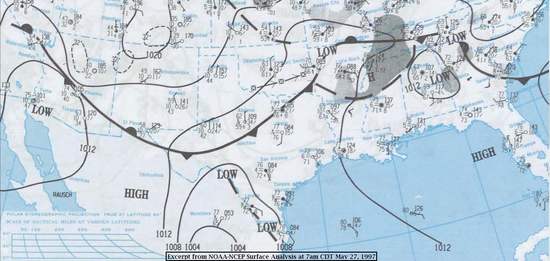
Surface analysis showing the stationary boundary over central Texas on May 27, 1997
The Tornado
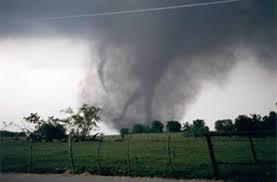
As the tornado entered the Double Creek Estates, it slowed further. Multiple visible sub-vortices rotated beneath the main condensation cloud, producing the image that gave the tornado its name. Observers from a safe distance described it as a giant figure walking across the plain, the sub-vortices appearing as legs moving independently under the broad cloud mass. The forward speed at this point was approximately five miles per hour. Structures in the path were not struck and passed. They were subjected to sustained F5 winds for several minutes, a duration the engineering standards of the time had never accounted for.
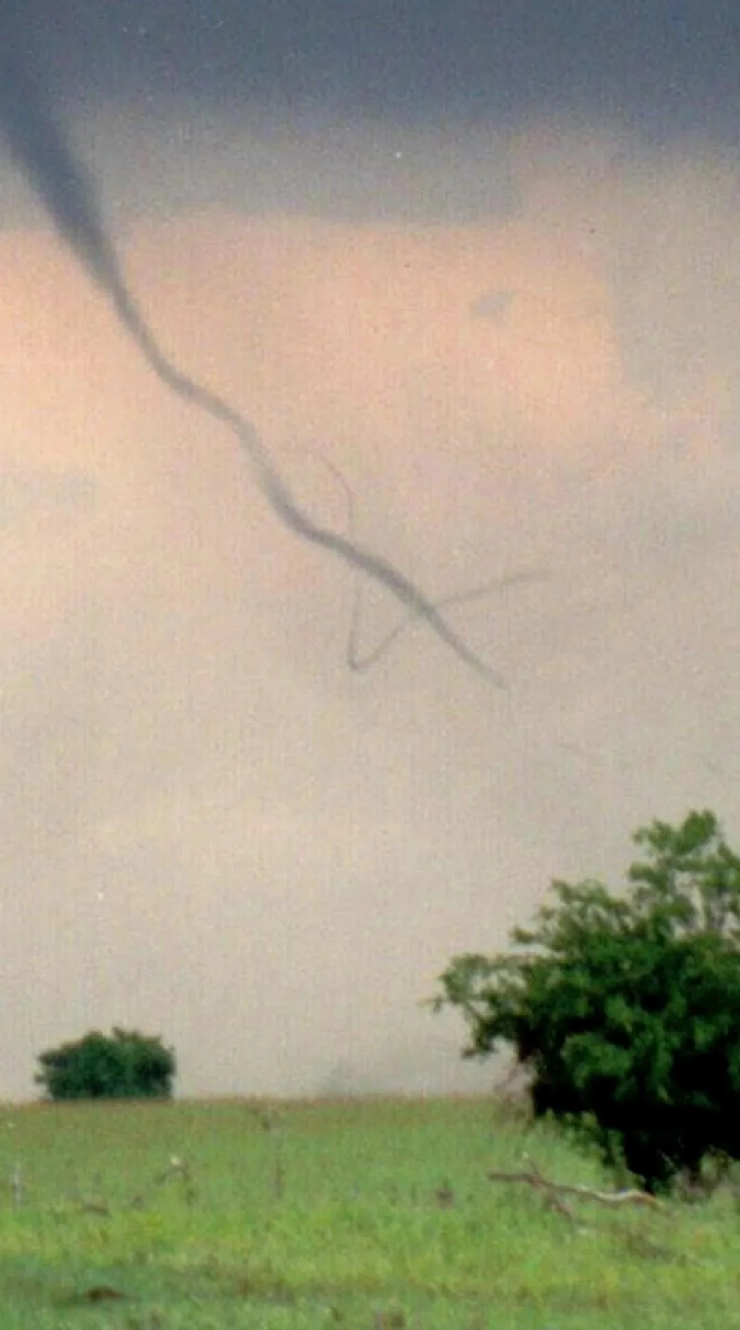
Close-range photograph of the Jarrell sub-vortices.
The Damage
The damage at Double Creek Estates was categorically different from any previously documented in the United States. Of the 50 homes in the subdivision, none survived. Not all of them were simply destroyed. Many were granulated: reduced to fragments so small that no piece of structure was identifiable within the debris field. The topsoil was removed to a depth of 18 inches in some areas. A paved county road had three inches of asphalt peeled from its surface. In the language of the Fujita Scale, this was F5 by any measure. In practical terms, the site looked like it had been run through an industrial shredder.

County road near Jarrell showing three inches of stripped asphalt scraped clean by tornadic winds
What Changed
The Jarrell, Texas tornado of 1997 highlighted how the duration of wind exposure affects structural damage. While the original Fujita Scale estimated wind speeds from observed damage, it didn’t consider how slow-moving tornadoes could cause more extensive destruction even at the same peak wind speeds. Observations from Jarrell contributed to the development of the Enhanced Fujita Scale, which uses more detailed Damage Indicators that better reflect construction type, quality, and vulnerability when estimating tornado intensity."