

Hurricane Katrina, 2005
£24.99
- Arrives in 3–4 working days
- Free delivery
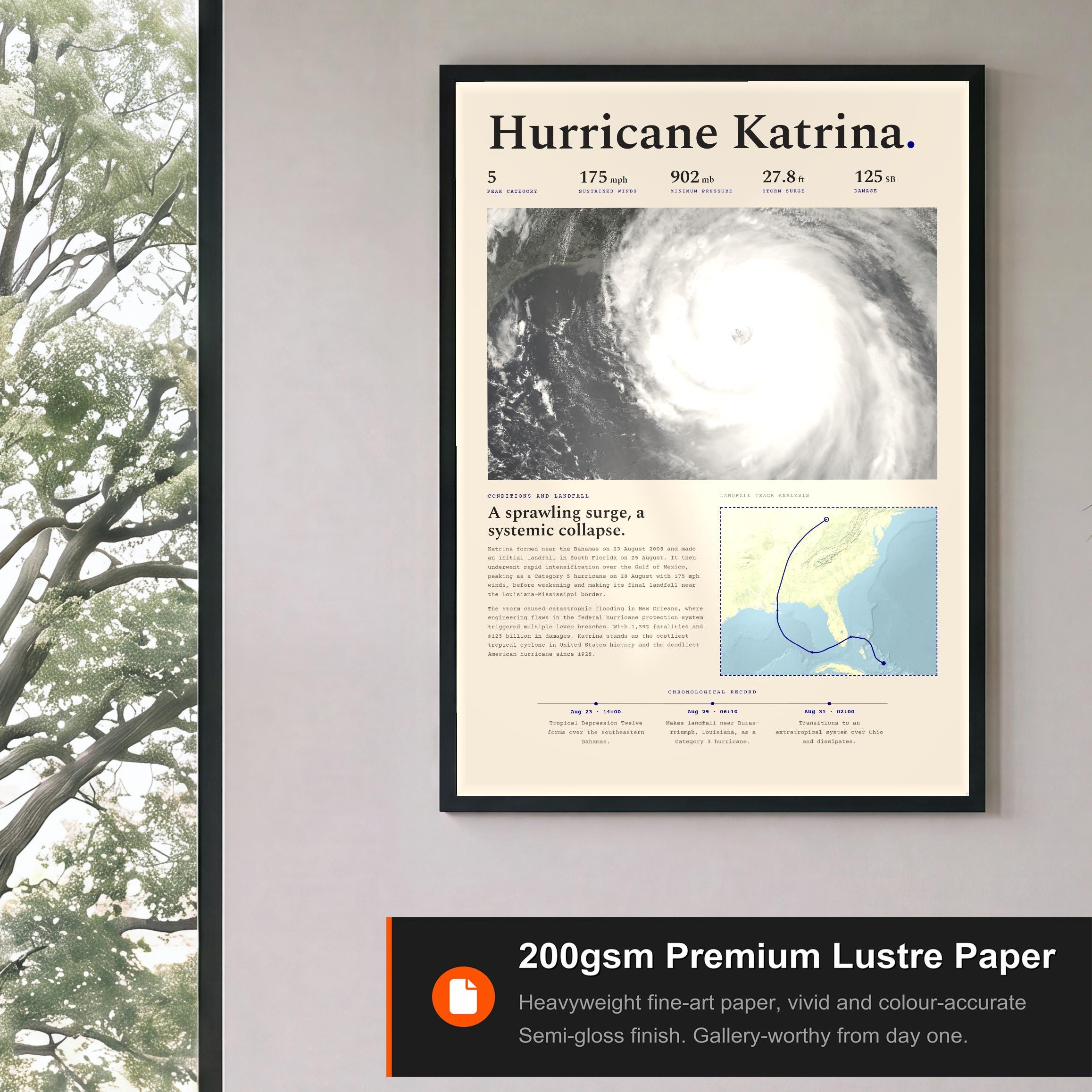
- 200gsm premium semi-gloss, fine-art weight
- Made to order, printed by the partner nearest you
- Damaged or misprinted? Replaced or refunded
The storm
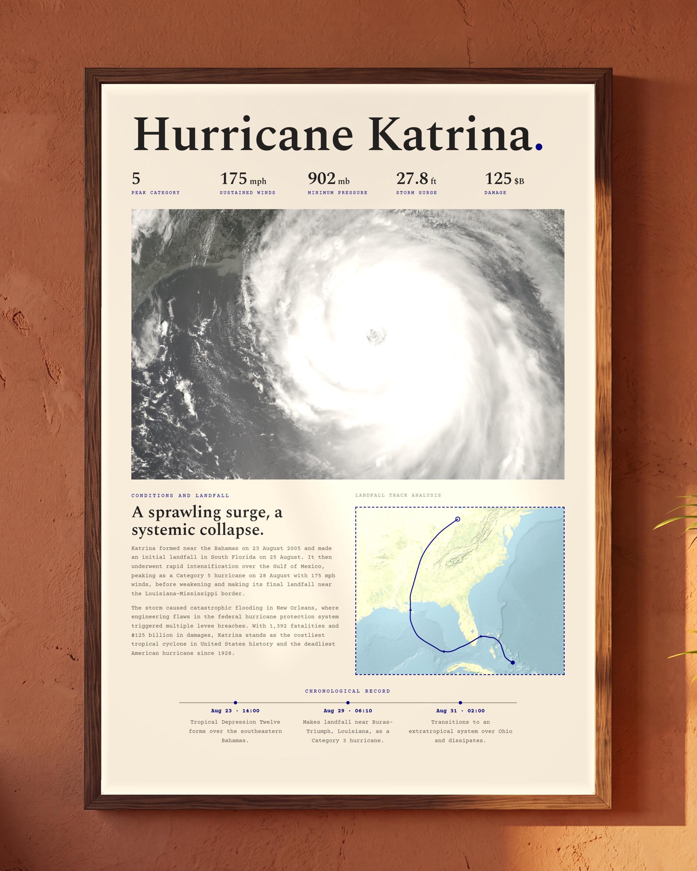
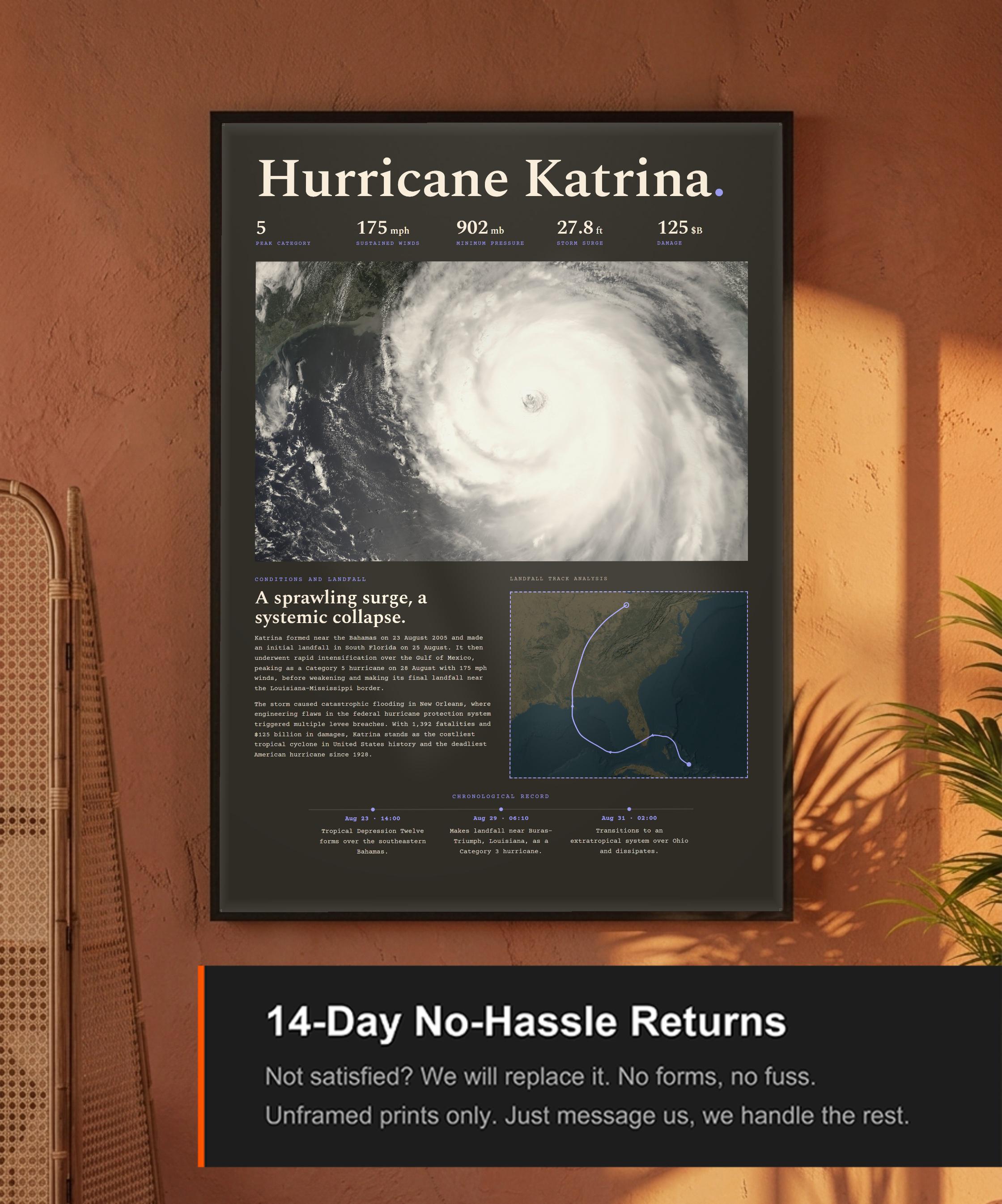
A sprawling surge, a systemic collapse. A cartographic record of Hurricane Katrina.
Katrina formed near the Bahamas on 23 August 2005 and made an initial landfall in South Florida on 25 August. It then underwent rapid intensification over the Gulf of Mexico, peaking as a Category 5 hurricane on 28 August with 175 mph winds, before weakening and making its final landfall near the Louisiana-Mississippi border.
The storm caused catastrophic flooding in New Orleans, where engineering flaws in the federal hurricane protection system triggered multiple levee breaches. With 1,392 fatalities and $125 billion in damages, Katrina stands as the costliest tropical cyclone in United States history and the deadliest American hurricane since 1928.
This print documents Hurricane Katrina's track, meteorological statistics, and landfall record, treating the event with the gravity it deserves, part of the Fujita Supply archive of Atlantic tropical cyclones.