
Hurricane Sandy, 2012
£24.99
- Arrives in 3–4 working days
- Free delivery
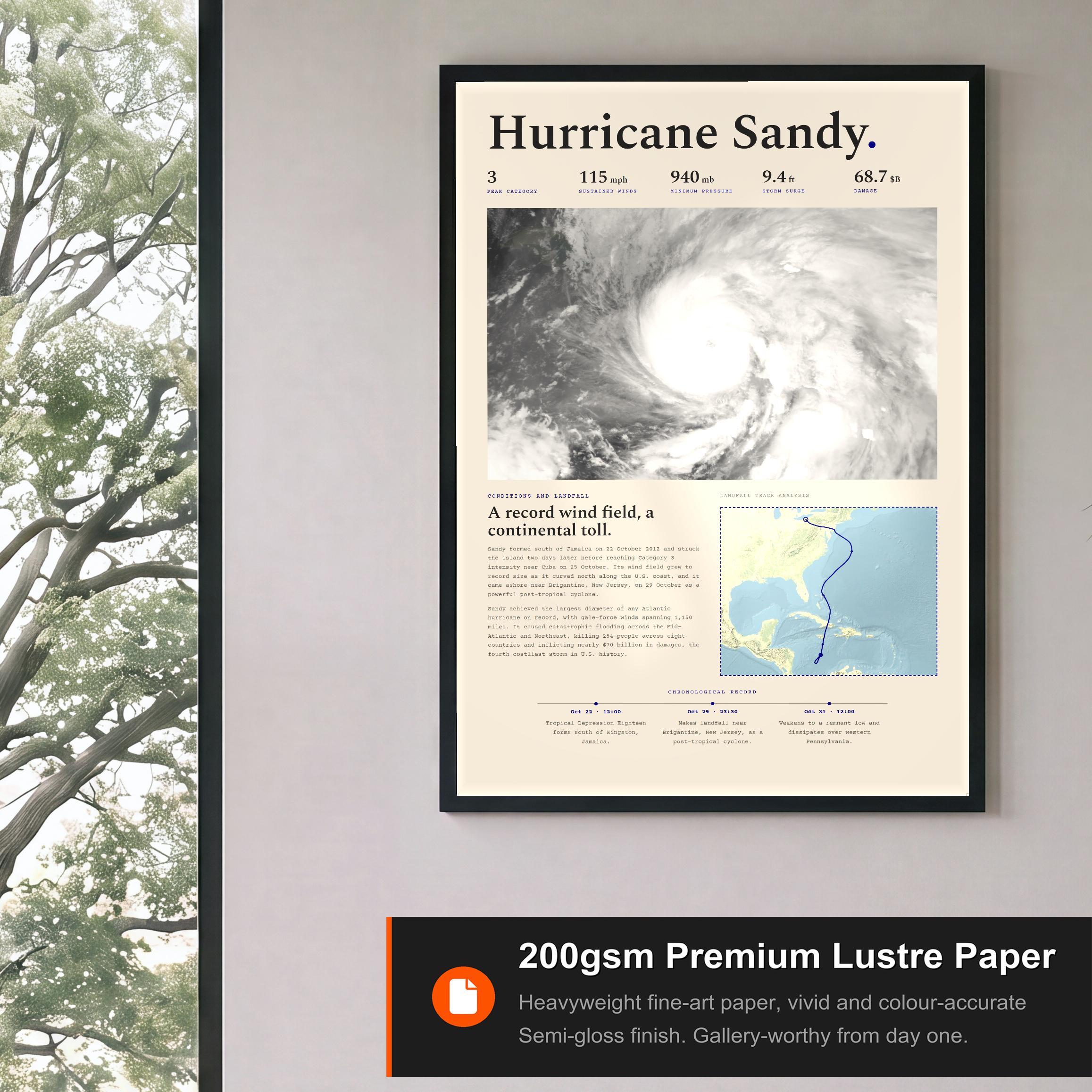
- 200gsm premium semi-gloss, fine-art weight
- Made to order, printed by the partner nearest you
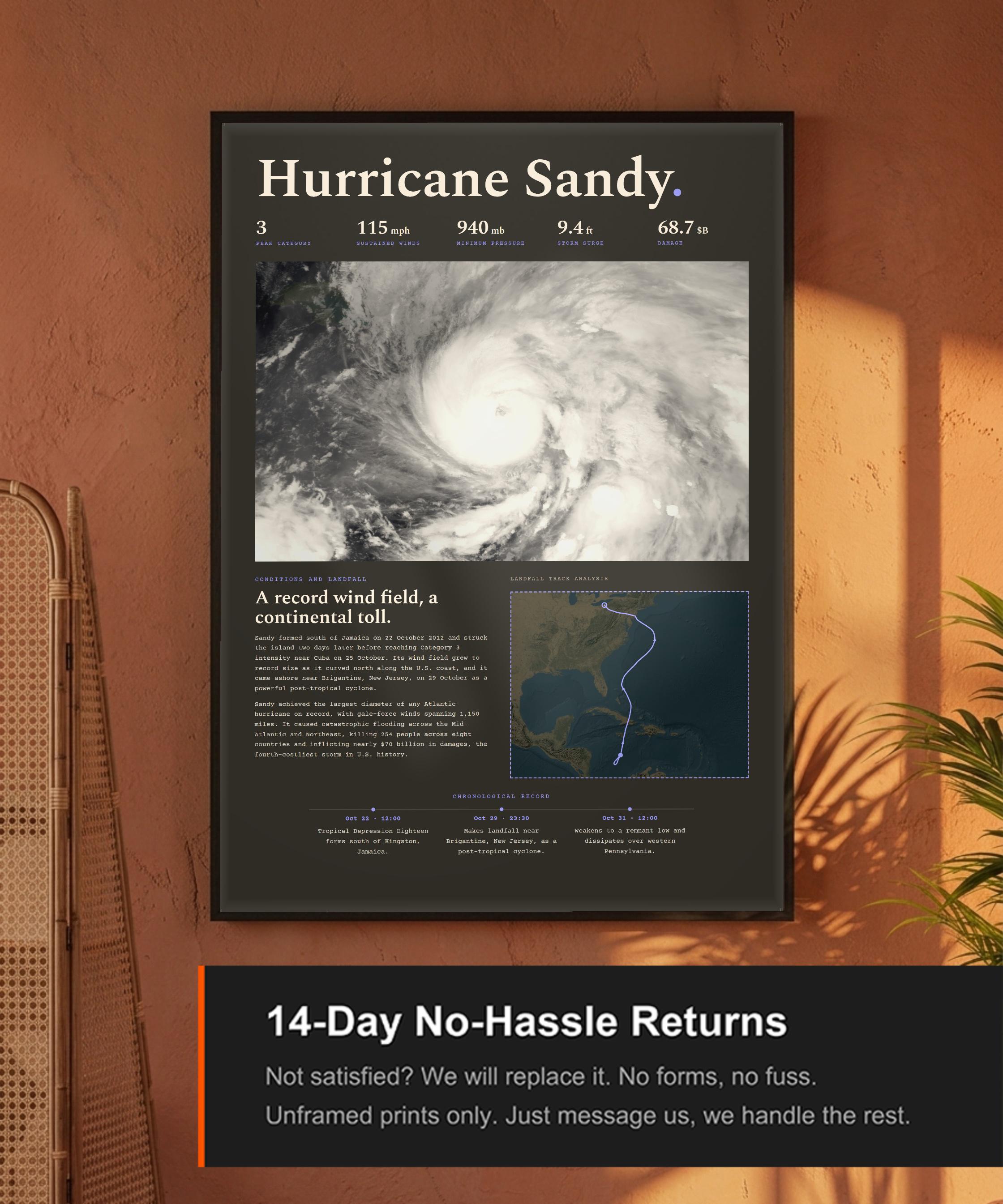
- Damaged or misprinted? Replaced or refunded
The storm
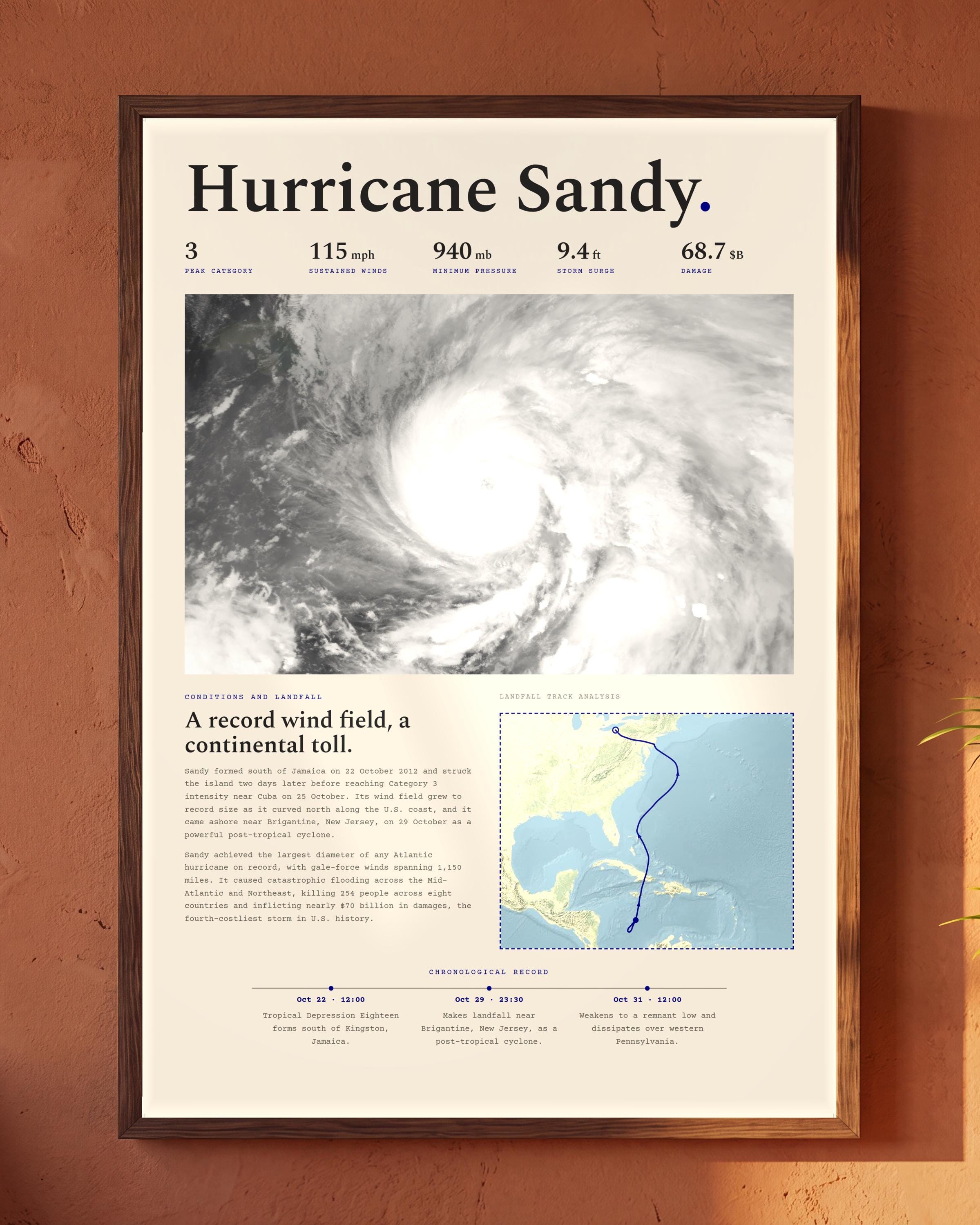
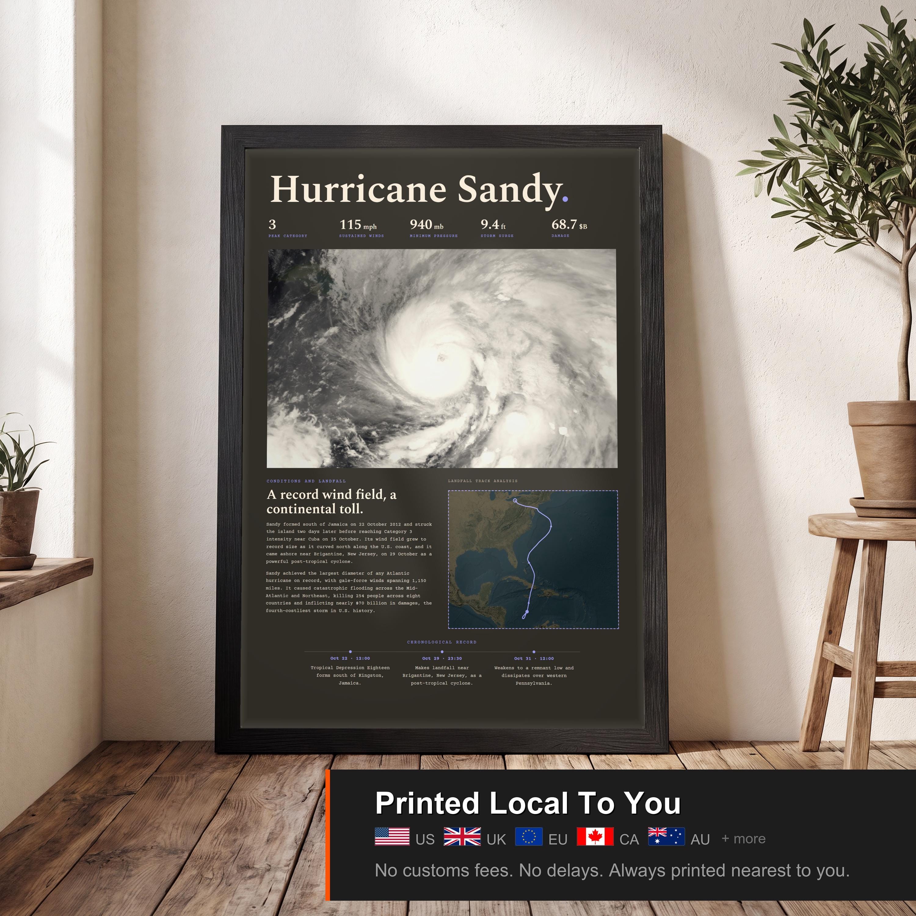
A record wind field, a continental toll. A cartographic record of Hurricane Sandy.
Sandy formed south of Jamaica on 22 October 2012 and struck the island two days later before reaching Category 3 intensity near Cuba on 25 October. Its wind field grew to record size as it curved north along the U.S. coast, and it came ashore near Brigantine, New Jersey, on 29 October as a powerful post-tropical cyclone.
Sandy achieved the largest diameter of any Atlantic hurricane on record, with gale-force winds spanning 1,150 miles. It caused catastrophic flooding across the Mid-Atlantic and Northeast, killing 254 people across eight countries and inflicting nearly $70 billion in damages, the fourth-costliest storm in U.S. history.
This print documents Hurricane Sandy's track, meteorological statistics, and landfall record, treating the event with the gravity it deserves, part of the Fujita Supply archive of Atlantic tropical cyclones.