Tornadoes of Louisiana
66 sold · 5.0
£29.99Free delivery · Replaced or refunded if damaged
- Arrives in 3–4 working days
- Free delivery
- 200gsm premium semi-gloss, fine-art weight
- Made to order, printed by the partner nearest you
- Damaged or misprinted? Replaced or refunded
The storm
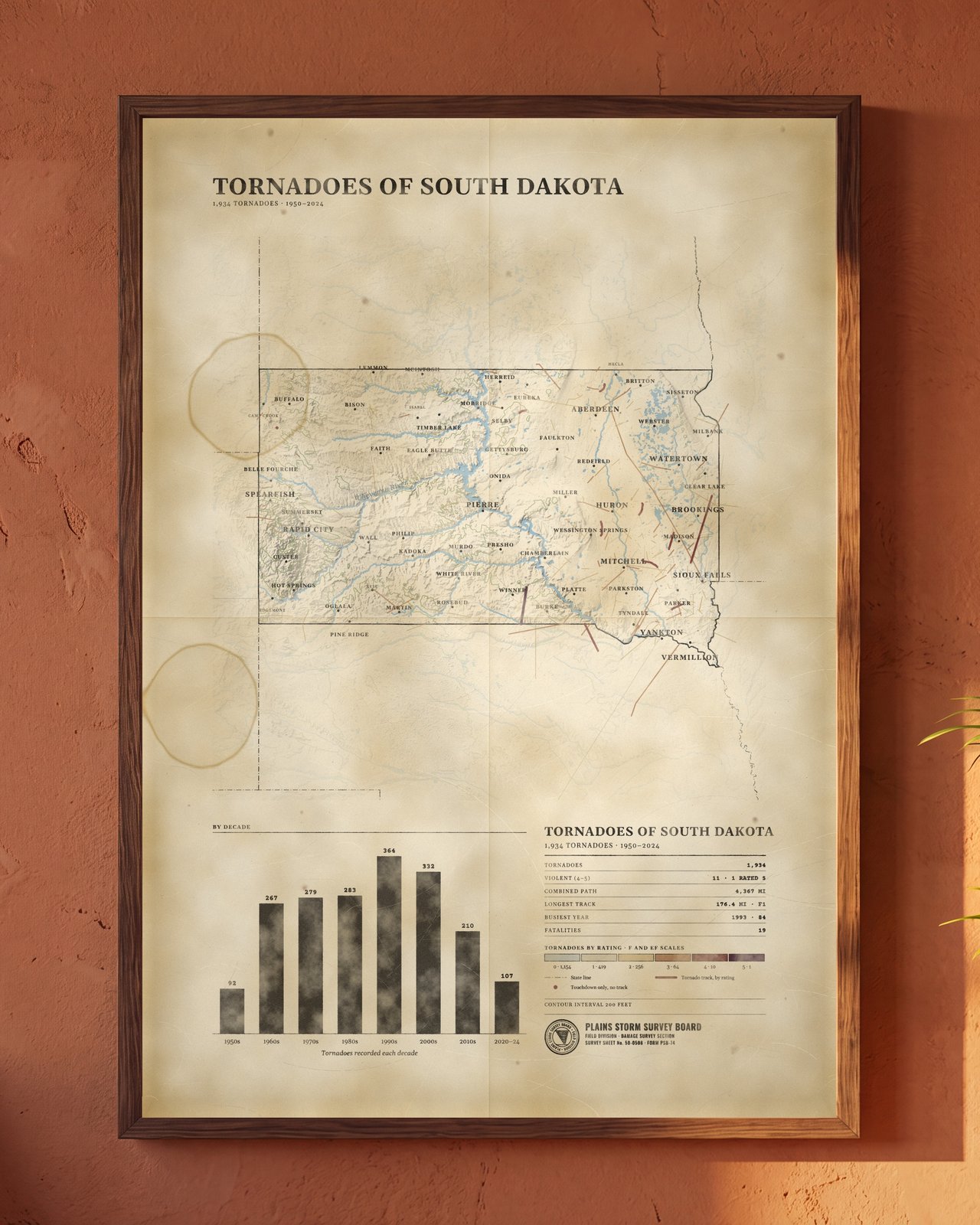
Every tornado recorded in Louisiana from 1950 to 2024, 2,516 in all, mapped on a vintage field survey sheet. Each track is drawn in the color of its rating, with the violent tornadoes set boldest, over shaded relief, rivers and the state's towns. Records that hold only a touchdown point are shown as dots. Below the map, a bar chart counts the tornadoes decade by decade, and a table gives the violent count, combined path length, longest track, busiest year and deaths. Aged paper with foxing and fold lines.
Print Details: - Printed on ultra-high-quality Premium Lustre Paper for a professional, semi-gloss finish. - Available unframed, or framed in White, Black, Light Natural Wood or Dark Brown Wood. - Available Sizes: A4 (8x12), A3, A2, and A1.
About the artwork: The Plains Storm Survey Board is invented, and so are its seal and form numbers. This is not the work of any real agency. Tornado records are from the NOAA Storm Prediction Center and the NCEI Storm Events Database, compiled by Tornado Archive. Shaded relief and contours from Mapzen Terrain Tiles (USGS 3DEP elevation). Rivers and place names © OpenStreetMap contributors (ODbL), via OpenMapTiles. State outlines from the US Census Bureau.